 Reddy2Help
Students can map their neighborhoods before asking AI to help
Free mapping tools give students a practical way to collect local evidence, check AI output and decide what information is safe to share.
A map can be a first technology lesson
A student does not need to build an app to use technology for a real local problem. With an ordinary phone, a free mapping tool and a teacher’s questions, a class can mark a water tap, a damaged footpath or a clinic that is difficult to reach. The result is small, but it changes the lesson. A place students know becomes information they can inspect and improve.
That work also gives AI a job that is easier to judge. A student can ask an assistant to group map notes, turn a list into a table or suggest questions for checking an observation. The map remains the reference. If the assistant invents a road or misunderstands a place name, the class can look at the street and correct it. Students can begin with a paper sketch of a familiar route, then compare it with observations they collect together.
Local knowledge is often missing from the map
Many digital maps are strongest where organisations and businesses already have the time to add information. A small settlement, an unmarked trail or a seasonal water point may appear as empty space. Empty space does not mean nothing is there. It may mean that nobody with a phone, a reason and enough time has recorded it yet.
A mapping exercise asks students to notice what adults pass every day. They might record where rainwater gathers, which route stays usable after dark or where a public building has steps but no ramp. The point is not to publish every detail. It is to decide which observations are safe, useful and possible to check.
- name the place without exposing a child’s home
- record what was seen, and when
- compare observations before drawing a conclusion
- remove details that could put someone at risk
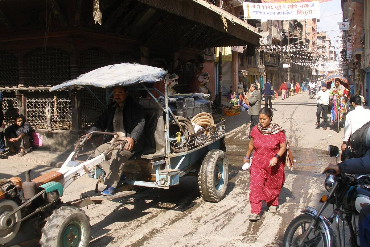
In 2007, a busy Kathmandu street is lined with shops and pedestrians, while a covered three-wheeled cart and motorcycles move through the foreground.
The lesson is about evidence, not pins
Dropping a pin on a screen can feel like research, but a pin alone proves very little. Was the location recorded from the right side of the road? Is the feature still there? Did two students describe the same place with different words? These are good questions because they slow down the easy part and make room for checking.
Students can keep a paper notebook beside the phone. They can write the local name, describe what they saw and note whether another person confirmed it. A teacher can then ask the class to separate facts from guesses. That habit matters beyond mapping. It is the same discipline needed when an AI system produces a confident answer with no reliable source behind it.
The class might check a map entry by:
- returning to the location with an adult
- comparing it with a second public source
- asking whether the information could identify a vulnerable person
- recording uncertainty instead of filling the gap with a guess
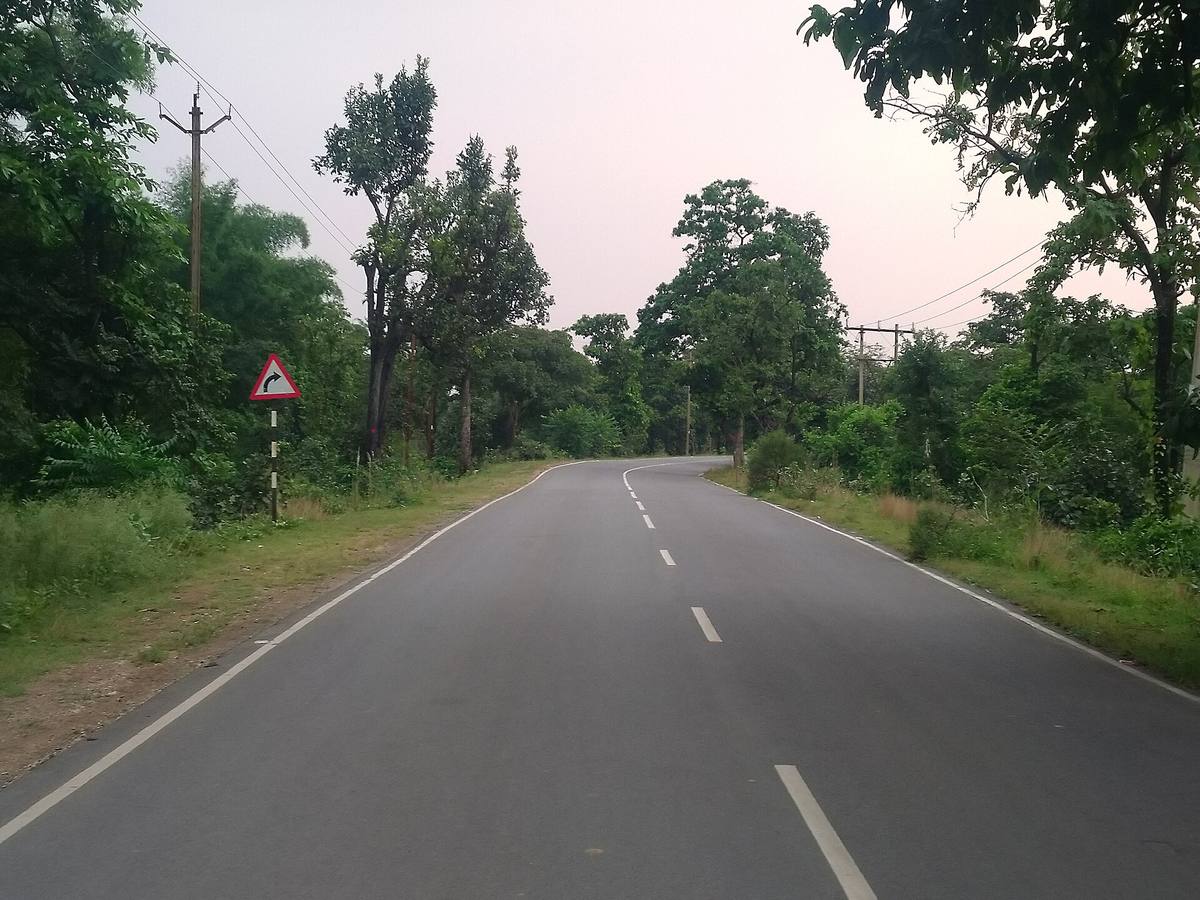
A paved road curves through dense green vegetation, with a painted centre line, roadside electricity poles and a warning sign for the bend.
Useful maps are made with people, not just devices
A phone can collect a location, but it cannot decide whether sharing that location is kind or safe. A school may be close to a settlement where families do not want their names attached to a map. A route used by a disabled person may be useful to describe, while a precise photograph of the person using it is not.
This is where a teacher’s judgement remains central. The class can work with broad areas instead of exact homes, leave sensitive places unmarked and ask permission before recording someone else’s work. The best technical lesson may end with a decision not to publish a point. Choosing what to leave out is part of using technology well.
From a class exercise to a shared tool
A careful map can help students explain a problem to someone who does not already know the neighbourhood. It can show why a short route is not an easy route, where water collects, or which public service sits beyond a difficult crossing. The value is not that the map looks polished. The value is that another person can understand the observation and check it.
Reddy2Help’s work with young people is about access to useful technology, not technology for its own sake. Mapping adds a different kind of practice to AI lessons: students gather local evidence before asking a tool to organise it. They learn that a digital result is only as good as the observation, the source and the care taken with the people represented.
A useful mapping lesson can leave students with four habits:
- look closely at the place in front of them
- keep a record that another person can question
- use AI to organise work, not replace observation
- protect people by sharing less when less is safer
The first map may cover only a few streets. That is enough to teach something larger: technology becomes useful when people can connect it to a place they know, check what it says and choose how it should be used.
Can students use free mapping tools to learn how to use AI responsibly?
Yes. Students can use free mapping tools to record and check local observations, then ask AI to organise that evidence rather than invent information. The exercise also teaches them to protect sensitive details and leave unsafe information unpublished.